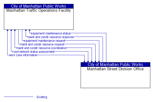
Interface: Manhattan Traffic Operations Facility - Manhattan Street Division Office
Architecture Flow Definitions
equipment maintenance request (Existing) Applicable ITS Standards
Identification of field equipment requiring repair and known information about the associated faults.
equipment maintenance status (Existing) Applicable ITS Standards
Current status of field equipment maintenance actions.
maint and constr resource coordination (Existing)
Request for road maintenance and construction resources that can be used in the diversion of traffic (cones, portable signs), clearance of a road hazard, repair of ancillary damage, or any other incident response.
maint and constr resource request (Existing) Applicable ITS Standards
Request for road maintenance and construction resources that can be used in the diversion of traffic (cones, portable signs), clearance of a road hazard, repair of ancillary damage, or any other incident response. The request may poll for resource availability or request pre–staging, staging, or immediate dispatch of resources.
maint and constr resource response (Existing) Applicable ITS Standards
Current status of maintenance and construction resources including availability and deployment status. General resource inventory information covering vehicles, equipment, materials, and people and specific resource deployment status may be included.
road network status assessment (Existing) Applicable ITS Standards
Assessment of damage sustained by the road network including location and extent of the damage, estimate of remaining capacity, required closures, alternate routes, necessary restrictions, and time frame for repair and recovery.
work zone information (Existing)
Summary of maintenance and construction work zone activities affecting the road network including the nature of the maintenance or construction activity, location, impact to the roadway, expected time(s) and duration of impact, anticipated delays, alternate routes, and suggested speed limits. This information may be augmented with images that provide a visual indication of current work zone status and traffic impacts.